


How Drone Data Software Is Revolutionizing Industries with Real-Time Insights

In todays hyper-connected world, businesses are constantly looking for smarter ways to collect, process, and utilize data. One of the most transformative technologies reshaping modern industries isdrone data softwarean advanced solution that takes aerial data collected by drones and transforms it into meaningful, real-time insights. When paired with cutting-edge tools such as artificial intelligence (AI), machine learning (ML), and real-time GPS tracking, this software is turning once-complex workflows into streamlined, efficient systems across sectors like agriculture, construction, mining, public safety, and infrastructure monitoring.
Moreover, with the rise of security concerns globally, the role of thesurveillance dronehas expanded. From border security to facility management, these drones, when equipped with real-time data processing capabilities, are ensuring safer and smarter monitoring.
This article explores howdrone data softwareis revolutionizing industries, its applications, and what businesses stand to gain by adopting this evolving technology.
What Is Drone Data Software?
Drone data softwarerefers to a digital platform that processes and analyzes the raw data captured by drones. These tools convert images, videos, thermal readings, and LiDAR data into usable information through features like:
3D modeling and mapping
Object detection and classification
Real-time analytics dashboards
Data synchronization with GIS and CAD systems
Automated reporting and cloud-based storage
The software not only automates data interpretation but also enables remote teams to collaborate and make faster, evidence-based decisions.
Industries Transformed by Drone Data Software
Agriculture
Precision farming has taken a giant leap forward withdrone data software. Farmers and agronomists now use drones equipped with multispectral sensors to monitor crop health, detect irrigation issues, and predict yield outcomes.
Use Cases:
Plant health mapping
Pest and disease detection
Soil condition analysis
Livestock monitoring
With real-time insight, farmers can optimize input use (like fertilizers and water), reduce operational costs, and increase crop yieldall while preserving environmental resources.
Construction and Infrastructure
The construction industry has embraced drone technology to improve site safety, track progress, and manage logistics.Drone data softwareis used to create 3D terrain models, volumetric measurements, and progress tracking.
Use Cases:
Site surveying and planning
Asset inspection
Earthworks calculation
Safety compliance monitoring
Using drones and real-time analytics, project managers can quickly identify bottlenecks and adjust operations, reducing downtime and improving project outcomes.
Mining and Quarrying
Accurate measurement and monitoring are critical in mining operations. Drone mapping allows miners to inspect otherwise dangerous or hard-to-reach areas without halting operations.
Use Cases:
Pit and stockpile volumetrics
Blast planning and safety checks
Environmental impact assessments
Drone data softwareenables automated data capture workflows, minimizing manual surveying and improving accuracy.
Oil, Gas, and Utilities
Infrastructure inspections in the energy sectorwhether pipelines, power lines, or wind turbinescan be time-consuming and risky. Drones with integrated sensors and thermal imaging offer safe and fast alternatives.
Use Cases:
Leak detection
Heat mapping for electrical faults
Vegetation encroachment analysis
Remote asset inspections
Paired withdrone data software, engineers receive instant, actionable data, enhancing both preventative maintenance and emergency response.
Public Safety and Emergency Response
In critical situations, every second counts. Public safety agencies are increasingly relying onsurveillance dronesystems supported by intelligent software to improve situational awareness.
Use Cases:
Search and rescue operations
Traffic and crowd monitoring
Firefighting support
Crime scene documentation
Real-time streaming and AI-based threat detection allow command centers to respond rapidly and effectively to incidents, often before ground teams arrive.
Surveillance Drone and Security Applications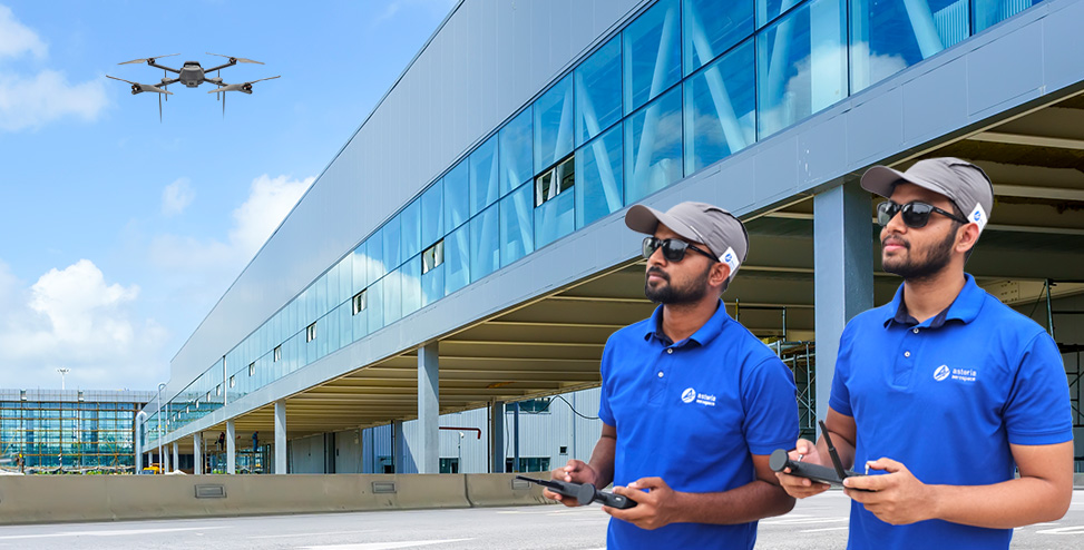
The demand for reliable, responsive security systems is at an all-time high. Enter thesurveillance dronea flying sentinel capable of covering vast areas in real-time. When integrated withdrone data software, these drones do more than just capture videothey analyze, alert, and act.
Applications:
Perimeter security for large campuses and industrial sites
Border patrol and anti-infiltration measures
Monitoring of critical infrastructure (dams, bridges, railways)
Disaster management and crowd control
Using smart algorithms, surveillance drones can identify suspicious activities, detect unauthorized access, and even integrate with existing security systems for seamless alert management.
The Power of Real-Time Insights
The shift from delayed reporting toreal-time insightshas redefined decision-making across all sectors. Some key benefits include:
Faster Decisions:On-the-spot data analysis enables teams to make informed choices instantly.
Operational Efficiency:Tasks like surveying and inspection are completed in a fraction of the time.
Cost Savings:Reducing the need for manual labor and equipment rentals significantly cuts costs.
Improved Safety:Dangerous areas can be monitored remotely, reducing human exposure to hazards.
Scalability:Businesses can scale operations with minimal additional manpower.
By utilizingdrone data software, organizations turn raw aerial data into critical intelligence, supporting strategic growth and operational excellence.
Challenges and Considerations
While the benefits are substantial, deployingdrone data softwareandsurveillance dronesdoes require careful consideration:
Data Privacy:Surveillance must comply with local privacy laws and ethical standards.
Integration:Software should be compatible with existing platforms like GIS, ERP, or BIM.
Training:Teams need adequate training in both drone operation and data analysis.
Hardware Compatibility:Software tools must support the drone hardware being used.
Regulatory Compliance:Operators must follow aviation regulations and no-fly zone rules.
Choosing the right vendor and solution partner is essential to maximizing the value of your investment.
Conclusion
As industries across the globe continue to embrace automation and data-driven strategies, the combination ofdrone data softwareandsurveillance dronetechnology stands at the forefront of this transformation. From enhancing safety and security to driving productivity and profitability, these tools are not just modern conveniencesthey are becoming operational necessities.
One company leading this revolution isAsteria Aerospace. Renowned for its indigenous drone solutions and intelligent software platforms,Asteria Aerospaceempowers businesses with the tools they need to harness real-time aerial intelligence. Their integrated systems are trusted across sectors for critical missionswhether its securing borders, inspecting infrastructure, or mapping farmlands. WithAsteria Aerospace, organizations can turn vision into visibility and data into decisions.


